MagTool
Development History
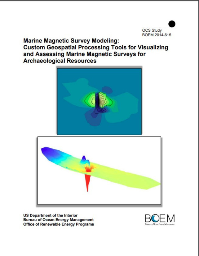
In 2012 a development team of maritime archaeologists, geophysical scientists, GIS analysts, and programmers created a Python toolbox for processing marine magnetic surveys in ArcGIS. They developed 4 Python scripts to automate common workflow steps used to visualize marine magnetometer data in ArcGIS. Among these scripts was a new survey QA/QC tool used to quantify coverage levels based on acquired magnetic data distribution. Once completed in 2014 MagTool V1 was delivered to the US Bureau of Ocean Energy Management (BOEM) Office of Renewable Energy Programs (OREP) and distributed to GIS users free of charge.
Starting in 2021, a subset of the original development team continued to expand, revise, and improve these scripts tools for use in marine magnetic survey operations. Updates incorporate additional features relevant for broader geophysical survey applications utilizing magnetic sensors. A second version was issued in February, 2022, with a third version issued in October, 2022. MagTool V3 represents a full-cycle survey project management and data processing platform utilizing multiple Python libraries in addition to the Arcpy core of the initial scripts. This Python toolbox remains free and available for ArcGIS users and surveyors.
MagTool V1 development activities were co-managed by researchers from the US National Park Service (NPS) and Bureau of Ocean Energy Management (BOEM) between 2012-2014. In addition to the Python Toolbox, two reports were published by this team, the first presenting activities from an interdisciplinary offshore survey effort (here) used to define future data processing needs by cultural resource managers. The second report, an action item resulting from the prior study, focused specifically on the development of the Python toolbox (here).
Current MagTool (V2 & V3) development is supported by Cardinal Point Captains, Inc., and remains an ongoing task to improve function and broaden MagTool's potential geophysical applications.